What this is
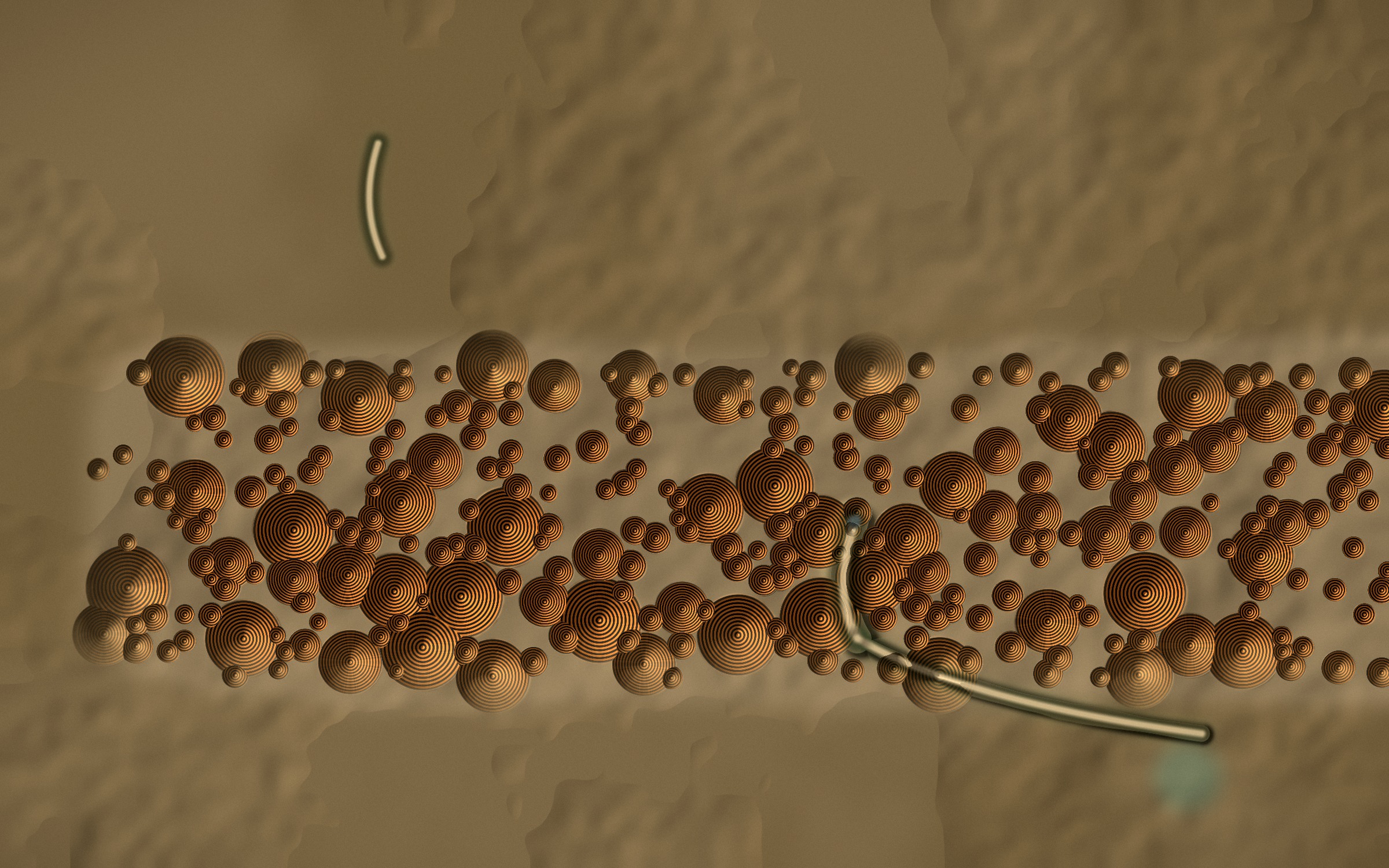
A prototype interpretive map: a hand-generated relief of dome-and-gorge country — banded beehive domes, incised gorges, sinuous creeks — carrying six place-points. Selecting one glides the map to it, raises a name-card with a sensory field note, and crossfades a real field recording. Every card also carries a designed, empty, non-interactive slot: a place reserved for a song, held until the people who hold it choose to fill it.
What it costs
The relief, banding, contour lines and creek carving are all generated locally from noise fields and hand-placed control curves — no map tiles, no imagery service, nothing fetched. That keeps it fast and offline, but it is an interpretation, not a survey: distances, the compass and the scale bar all say so out loud rather than pretending to precision they don't have. The empty slot costs discipline — it would be easy to fill it with something plausible-sounding, which is exactly the failure mode this room is designed to refuse.
How it transfers
This is the pitch: a park- or place-based interpretive map where the terrain, the recordings and the natural-history notes can be built and shipped immediately, while every slot that would carry story, song or name stays visibly reserved — present in the design, absent in the content — until traditional owners choose what belongs there and how. Nothing here should be read as a guess at what that content might be.